
Grand Canyon Visitor Center
Visitor guidance, live conditions, places to explore, things to do, and deeper context on the canyon’s geology, history, wildlife and people.

Start With What You Need
Some visitors are planning a first trip. Others want to understand a place they already love. Use the site as a visitor center: plan the practical details, explore the canyon by place, or go deeper into geology, history, wildlife and culture.
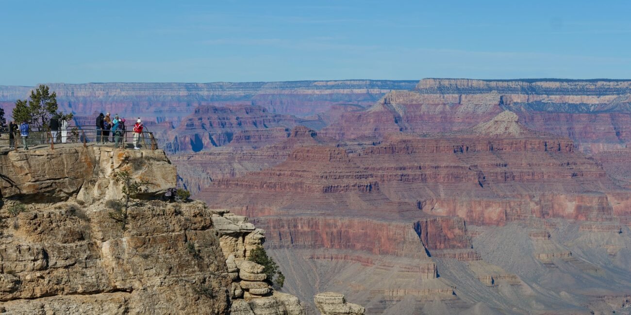
Plan Your Visit
Rims, seasons, itineraries, lodging, transportation, maps and current conditions.
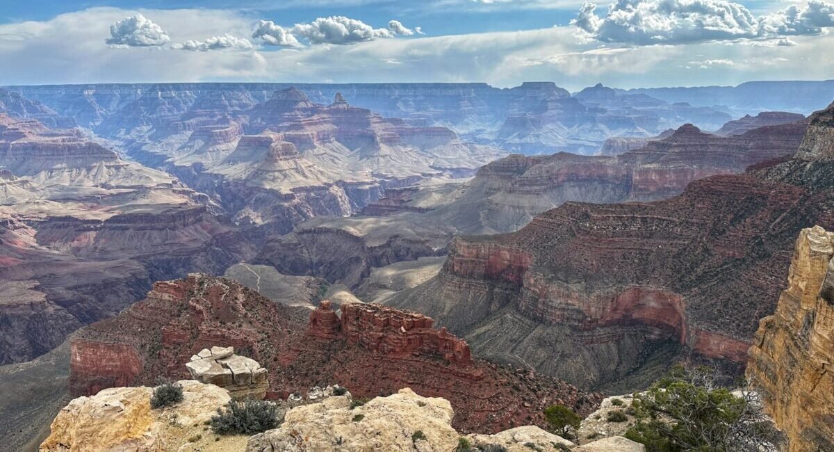
Explore the Canyon
South Rim, North Rim, inner canyon, Colorado River, tribal lands and gateway communities.
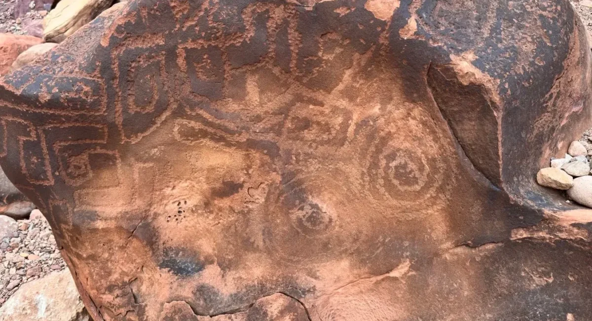
Discover the Canyon
Geology, archaeology, history, wildlife, plants and the stories behind the landscape.
Grand Canyon Weather Changes With Elevation
Conditions can differ sharply between the rim and the inner canyon, and summer thunderstorms can transform an afternoon quickly. Use this live Grand Canyon Village forecast for orientation, then check the full weather page for South Rim, North Rim and inner-canyon conditions.
Conditions Can Change Quickly
Roads, trail water, wildfire operations, winter weather and seasonal facilities can change quickly. Use the live-source pages for current closures, road status, trail conditions and facility information rather than relying on older plans or articles.
Explore the Grand Canyon
Start with geography. The South Rim is the classic first visit, the North Rim is a quieter seasonal world, and beyond them are the inner canyon, Colorado River, tribal lands, Grand Canyon West and the gateway communities that connect the region.
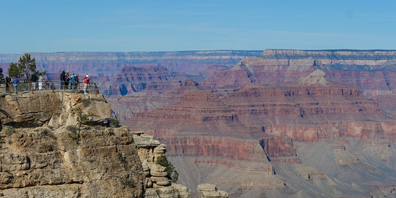
South Rim
Year-round access, iconic viewpoints, rim trails and the park's broadest range of visitor services.
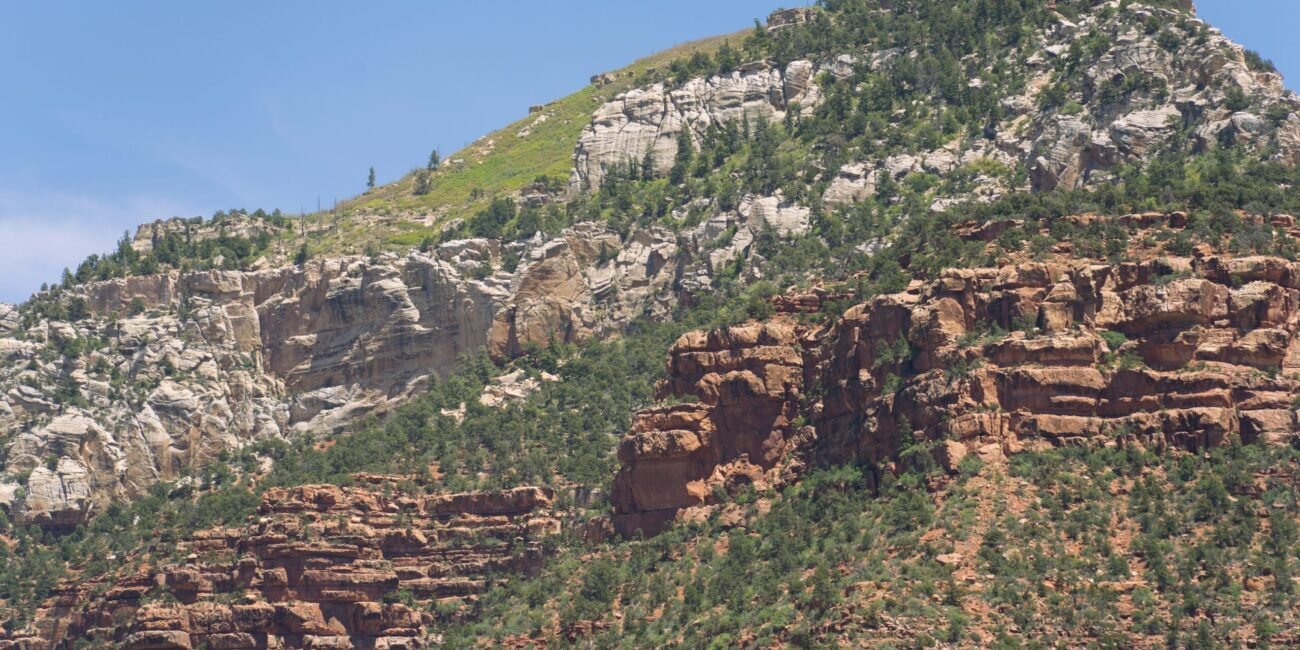
North Rim
Higher, quieter and seasonal, with remote viewpoints and a distinctly different pace.
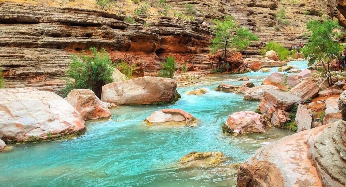
Beyond the Rims
River country, Havasupai, Grand Canyon West and gateway communities each form their own journey.
Things to Do
The canyon does not reward a packed checklist. A viewpoint, a rim walk and time to watch the light can be enough. Hiking, rafting, biking, rail trips, scenic flights and guided tours are better choices when they match your time, ability and reason for coming.
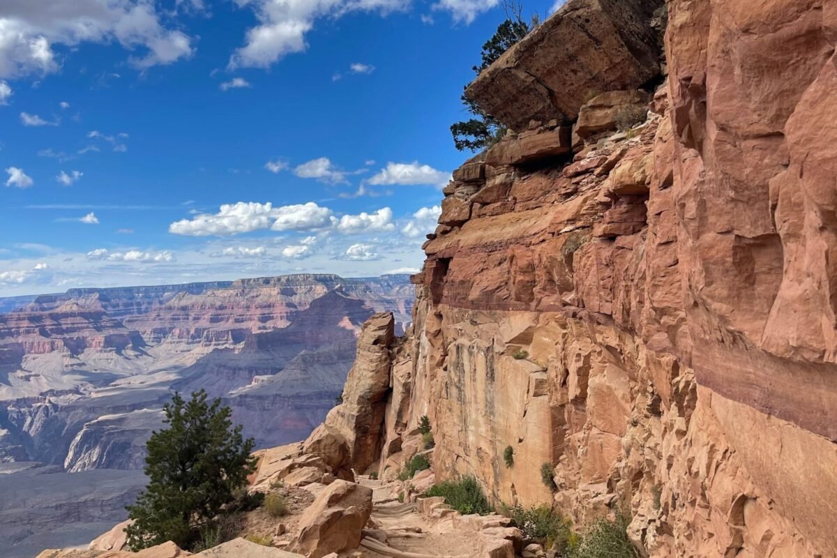
Choose Your Pace
Some visitors want an easy scenic day. Others come specifically to hike below the rim, fly over the canyon, ride the railway or spend time on the river. Start with the kind of day you want, then let the activity pages narrow the options.
Stay & Eat
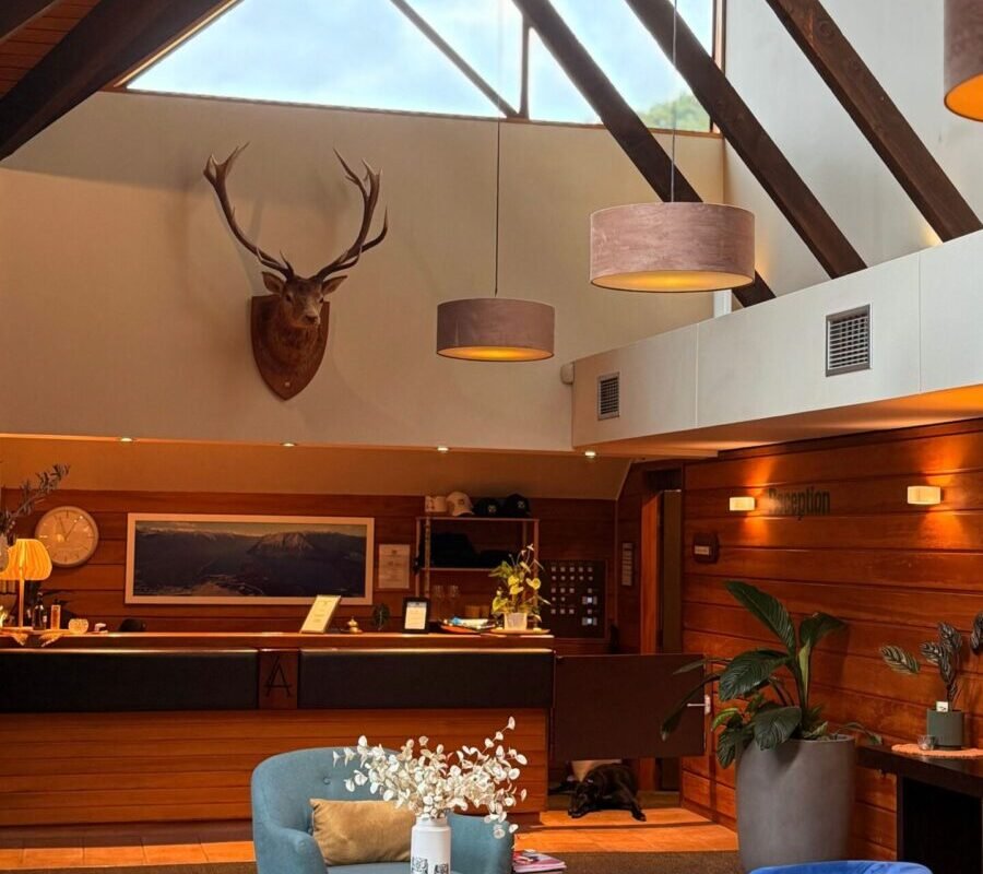
Lodging location can save or cost hours of driving. Dining hours, campground reservations, RV logistics and seasonal services matter too. Decide where you want to wake up and how much convenience you need before filling the trip with activities.
A Canyon of Elevation
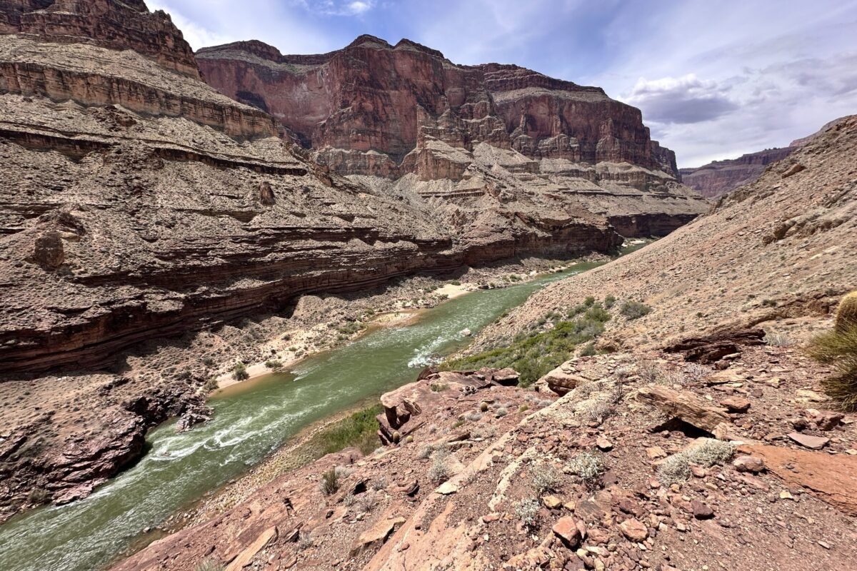
The South Rim sits around 7,000 feet above sea level, the North Rim rises above 8,000 feet in many places, and the Colorado River is roughly 2,400 feet above sea level. That enormous vertical range is why a single canyon can contain cool forests, dry desert slopes, dramatic temperature changes and very different plant and animal communities. Going deeper into Grand Canyon is not just traveling farther. It is moving through elevation, climate and ecosystems.
Latest Official Grand Canyon News
The latest headlines below come from Grand Canyon National Park's official news-release feed. Use our News & Updates section for closures, roads, weather, events and trail/facility information.
BREAKING: South Rim Lodging Closes August 31 After Flood Damage
Grand Canyon National Park implemented Stage 4 water restrictions at noon August 31 after flood damage to the Transcanyon Waterline. Overnight concession lodging on the South Rim is closed for the foreseeable future, while the park remains open for day use. For inner-canyon travel, the live NPS Key Hiking Messages currently lists North Kaibab closed, South Kaibab open to Black Bridge, Bright Angel open to River Resthouse and Silver Bridge open. Check current NPS alerts immediately before travel because recovery conditions can change.
 Official Grand Canyon National Park News
- Two Deceased Hikers Recovered and Identified Following Flash Flood September 1, 2026
- Grand Canyon National Park to Close Overnight Hotel Accommodations Beginning August 31 August 30, 2026
- Public Assistance Requested to Account for Individuals Following Grand Canyon Flash Flood August 30, 2026
- Significant Flash Flooding Closes Phantom Ranch and North Kaibab Trail August 30, 2026
- South Rim Services Expand as Water Conservation Measures Continue at Grand Canyon National Park August 20, 2026